Information
Tutorial 5 | Aerial Photogrammetry
Basic shortcuts
| Ctrl + S | Save subtitles |
|---|---|
| Ctrl + click Double click | Edit highlighted caption |
| Tab | Edit next caption |
| Shift + Tab | Edit previous caption |
| Esc | Leave edit mode |
| Ctrl + Space | Play / pause video |
| Ctrl + Home | Play selected caption |
| Ctrl + Enter | Split caption at cursor position at current time |
Advanced shortcuts
| Ctrl + Insert | Add new caption |
|---|---|
| Ctrl + Delete | Delete selected caption |
| Ctrl + I | Edit currently played segment |
| Shift + Enter | New line when editing |
| Ctrl + Left | Play from -1s |
| Ctrl + Right | Play from +1s |
| Alt + Left | Shift caption start time -0.1s |
| Alt + Right | Shift caption start time +0.1s |
| Alt + Down | Shift caption end time -0.1s |
| Alt + Up | Shift caption end time +0.1s |
Annotation shortcuts
| Ctrl + 1 | Hesitation |
|---|---|
| Ctrl + 2 | Speaker noise |
| Ctrl + 3 | Background noise |
| Ctrl + 4 | Unknown word |
| Ctrl + 5 | Wrong segment |
| Ctrl + 6 | Crosstalk segment |
00:02.2
00:02.2
00:02.2
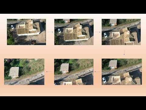
Practical example of aerial photogrammetry with Drone, combined with terrestrial photogrammetry.
00:02.3
00:09.3
00:09.3
In this example, data capture will be carried out using a drone equipped with a camera, followed by a series of flight missions with the help of the free mobile application Pix4Dcapture.
00:09.4
00:14.2
00:14.2
The equipment for this mission will consist of the drone, its control controller and the compatible smartphone or tablet terminal connected to the control controller.
00:14.3
00:19.1
00:19.1
The processing of the photographic data will be carried out with the RealityCapture software.
00:24.1
00:28.9
00:28.9
Drones have become very useful documentation and control tools, equipped with an RGB camera, Infrared or Lidar.